The whole world, live. On one map.
Aurora, earthquakes, the ISS and webcams from around the world. From official sources, free, no sign-up.
Everything on one map
Aurora, earthquakes, ISS, webcams, planes, ships, sea and weather. Turn each layer on with one click.
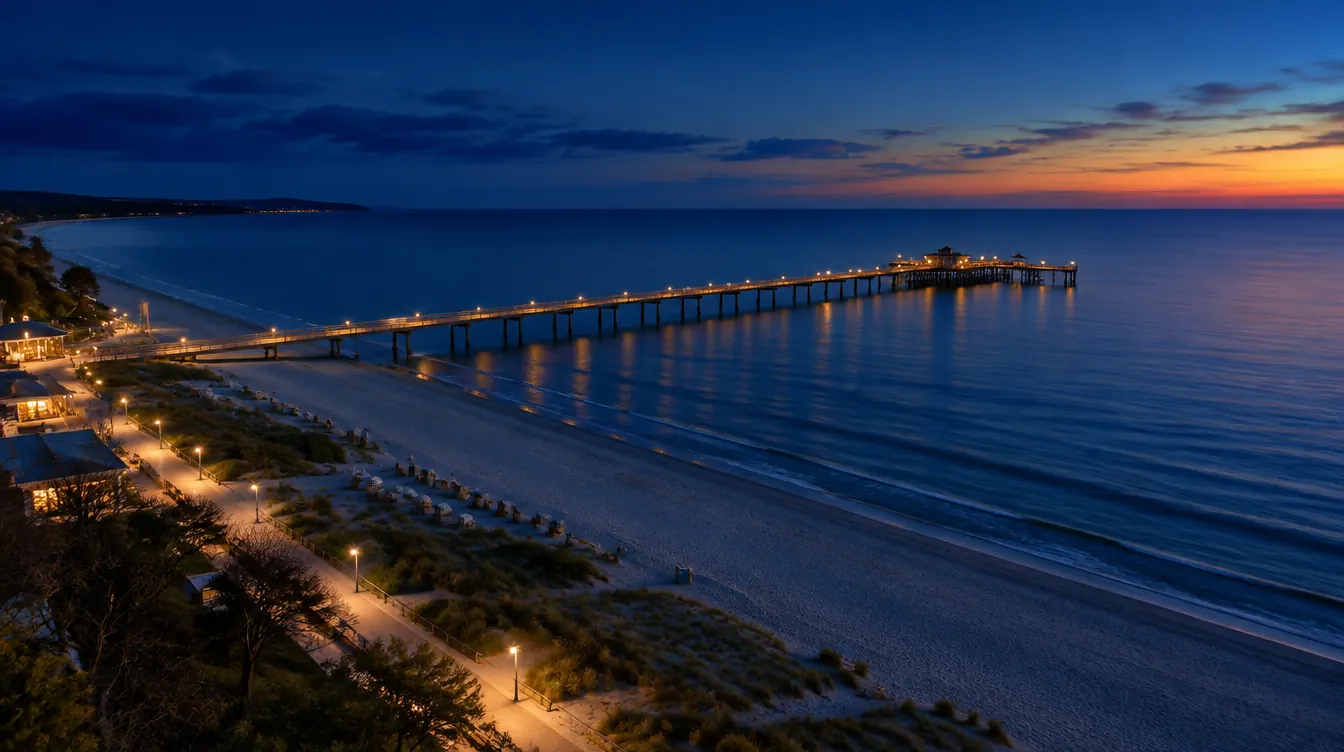 LiveWebcamsWebcams from open sources and from owners who said yes. Places to stay nearby, right next to them.
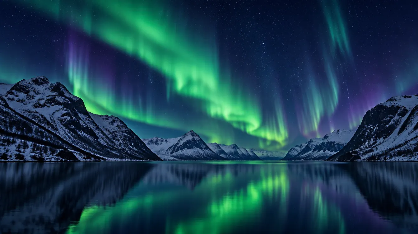 LiveKpAuroraWill you see the aurora tonight?
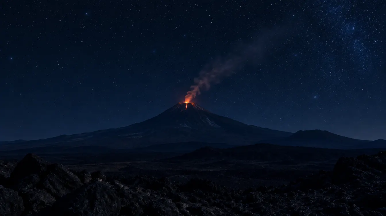 LiveM4.5+EarthquakesThe Earth shakes. You see it straight away.
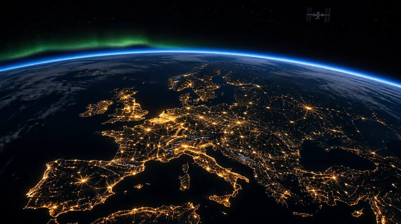 LiveISSThe ISS flies over you. Know when.
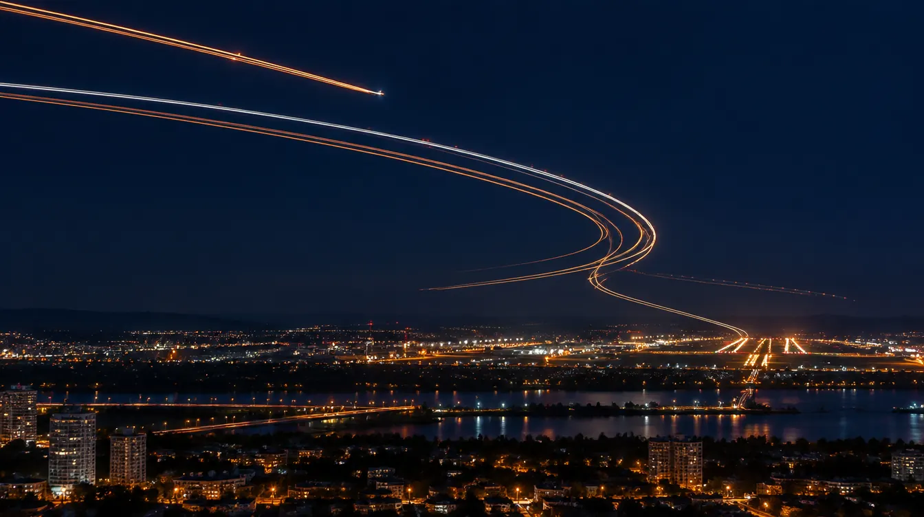 LivePlanesAir traffic worldwide
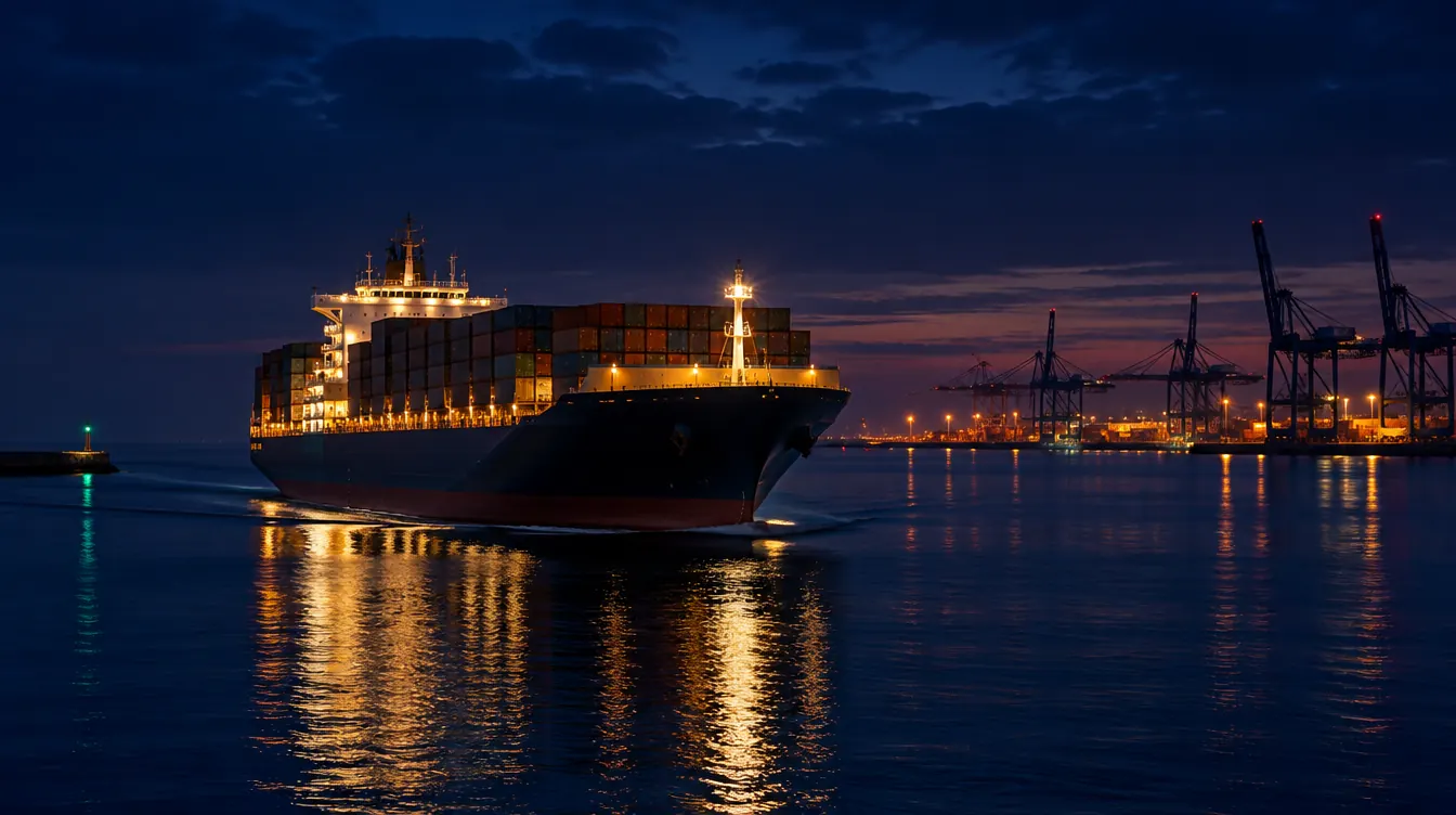 LiveShipsPorts and shipping lanes
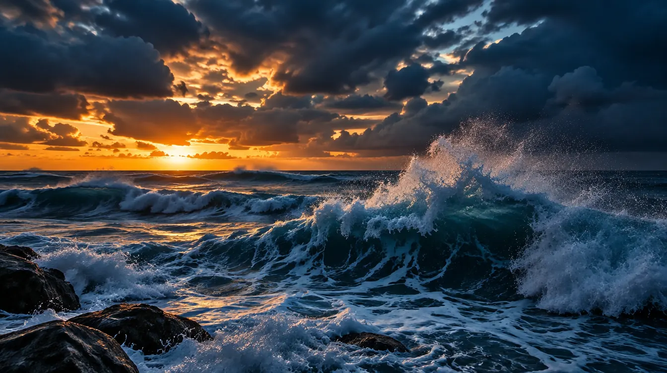 LiveSea and weatherSatellite clouds and water temperature
Photos are illustrations, not camera feeds.
How it works
- 01
Pick a layer
Aurora, earthquakes, ISS or webcams. Each one is a layer of the same map.
- 02
Choose a city
Ready-made pages for 87 cities in Europe and North America.
- 03
Get the answer
Will the aurora be visible, when the ISS passes, where the ground shook last. In seconds.
Data you can trust
Official sources
NOAA, USGS, CelesTrak. Every layer says where its data comes from.
Free, no account
The map and forecasts are open to everyone.
No snooping on people
No private cameras and no tracking of specific people's planes.
Aurora in other cities
Questions
Where does the data come from?
Aurora: Kp index and forecast from NOAA SWPC. Earthquakes: U.S. Geological Survey. ISS: orbital data from CelesTrak, and we calculate the station's position in your browser. Every layer names its source.
Does it cost anything?
The map and forecasts are free and need no account. The Plus plan (from 3,99 € a month) removes ads and adds favourites and a camera grid.
How often is the data updated?
The sources publish new data every minute (Kp from NOAA, quakes from USGS). The page fetches it each time you open it and recalculates the ISS position every few seconds.
Can I see the aurora from where I live?
It depends on how far north you are. Pick your city on the aurora page: it shows the Kp index your location needs and the current forecast.